
Axis Land Surveying:
25 Years of Precision
Engineering Pedigree. Architectural Focus.
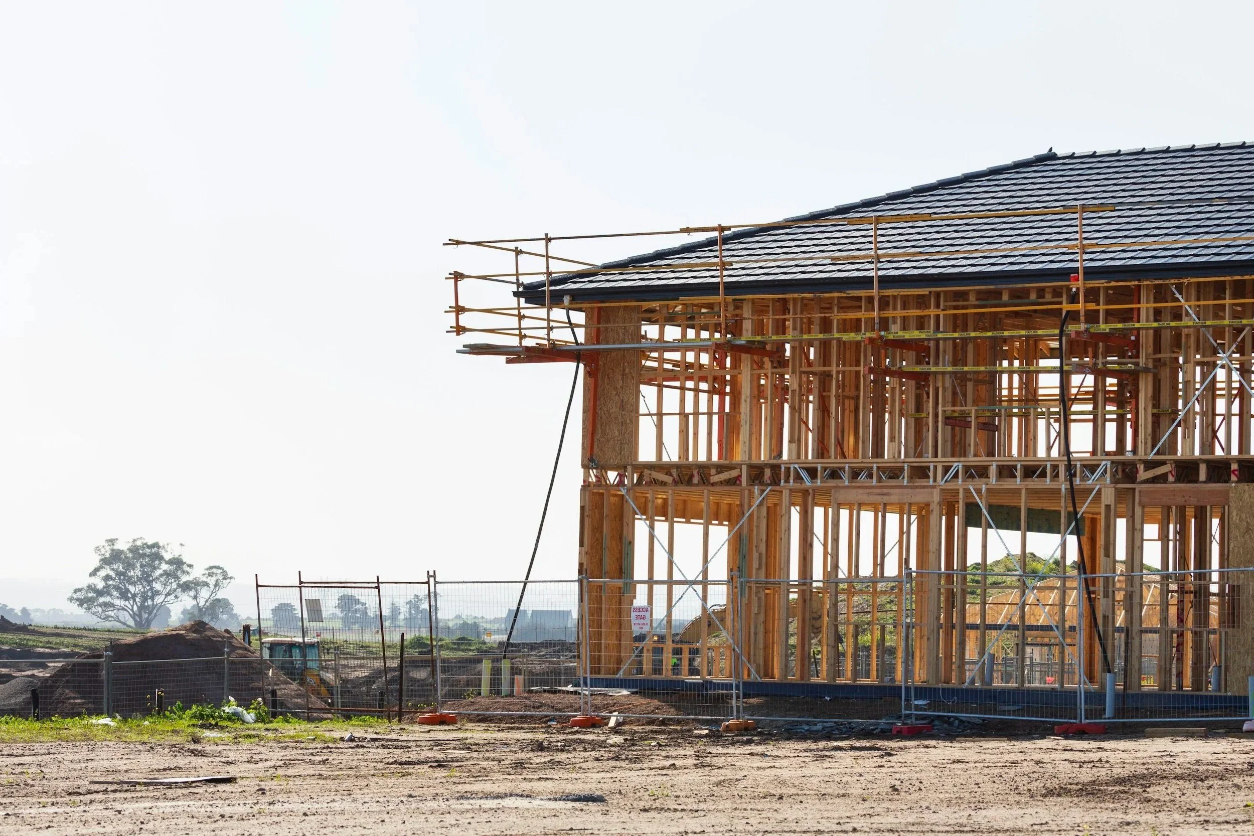
Axis Land Surveying was established 25 years ago to provide the construction industry with cost-effective site engineering and surveying solutions. This background in high-stakes dimensional control means we don’t just "measure" buildings—we understand the structural and spatial logic required for a successful build.
Today, we have refined that expertise to support building projects across Kent and the South East, providing the "Right-First-Time" data necessary for complex modern designs.

A Team Defined by Experience
Our professional depth of knowledge allows us to provide practical, efficient assistance for a wide range of projects, from heritage conservation to large-scale residential developments. Having supplied comprehensive surveys for a diverse client base, we understand the specific "pain points" architects face: the need for absolute accuracy, the pressure of planning deadlines, and the necessity of staying within budget.


High-Spec Technology, Low-Overhead Value
We believe that advanced data shouldn't come with a prohibitive price tag. By utilizing the latest data gathering technology—including 3D Laser Scanning and Point Cloud generation—we offer technical sophistication that rivals national firms but with the responsiveness and value of a local specialist.
BIM-Ready Workflows: We deliver data that integrates directly into your CAD or Revit environment, supporting BIM Level 2 compliance.
Responsive Mobilization: Based in Kent, we are positioned to reach sites across the South East quickly, offering 24-hour quote turnarounds to keep your project moving.
Practical Problem Solving: Our 25 years of experience mean we don't just hand over a file; we provide a reliable digital foundation for your design.
Our
Clients
Amec Spie Group Ltd.
Bovis Homes
Burleigh Homes
Cardy Construction
Carillion
Costain
Ground and Environmental Services Ltd
I.D. Corcoran Building Contractors Ltd
JPD Architecture UK Ltd
Kent County Council
Kiers
Lidl Stores
Mansell
Manston Airport
MHS Homes
Weeks Consulting