

Technical Surveying Solutions for the South East
Our
Services
-
A comprehensive topographical survey is the essential first step for any planning application or site development. We provide detailed site analysis for a wide range of projects, delivering accurate level datums, boundary verification, and utility mapping.
Responsive Service: Being local to Kent and the South East, we offer rapid mobilization to your project site.
Planning Precision: Deliverables are formatted for immediate use in 2D CAD or 3D terrain models to expedite your planning submission.
-
Established 25 years ago to provide site engineering and surveying solutions for the civil engineering and construction industry, we offer professional Volumetric Analysis.
Accuracy for QS & Contractors: We provide precise earthworks calculations and stockpile volumes to assist quantity surveyors and contractors in cost control.
Dimensional Control: We offer practical and efficient assistance for complex site engineering and dimensional control requirements
-
We provide millimetre-perfect architectural records using high-speed 3D Laser Scanning. Our Measured Building Surveys capture complex geometries that traditional methods miss, providing you with high-resolution Point Clouds and detailed CAD elevations.
Heritage Focus: Non-destructive capture of historical architectural details and fabric for conservation specialists.
Modern Focus: BIM-ready models for rapid integration into Revit and other modern design environments.
-
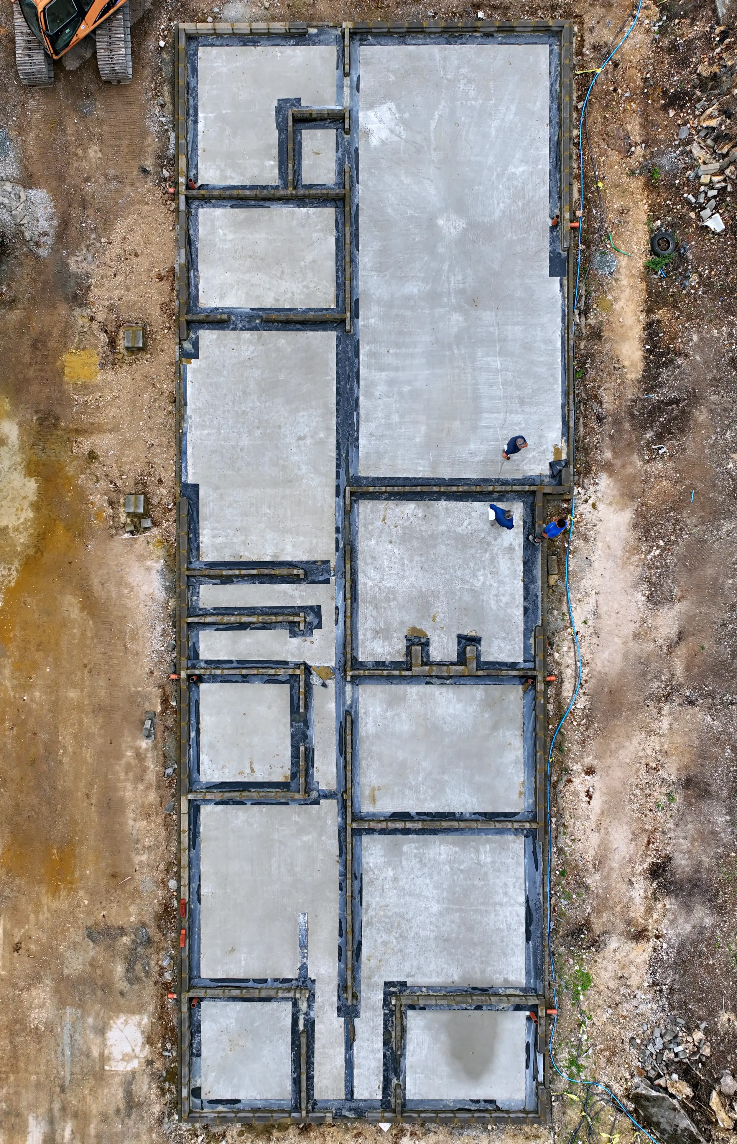
When Building and Civil Engineering Contractors secure projects and require an immediate presence on site, Axis can assist. Our qualified engineering teams can provide adequate site supervision and the necessary setting out requirements to progress all earthworks and substructure disciplines, drainage, external works, brick work, etc.
-
For main contractors and steel erection teams, Axis can ensure accurate setting out of gridlines for the installation of holding down bolts. Completed steel frame installation can be plumbed, lined and levelled to ensure full compliance with the project specification.
-
To accurately determine spoil heap quantities, extent of reduced dig or quarry capacities, Axis are regularly engaged to provide accurate surveys.
“We have used Axis Land Surveying for years to produce topographical surveys, building surveys and setting out for our projects. They are speedy to organise, carry out and produce the surveys. They are also one of the most reasonably priced survey companies we have used for our projects, which we can pass on to our clients.”
– JPD Architecture UK Ltd