
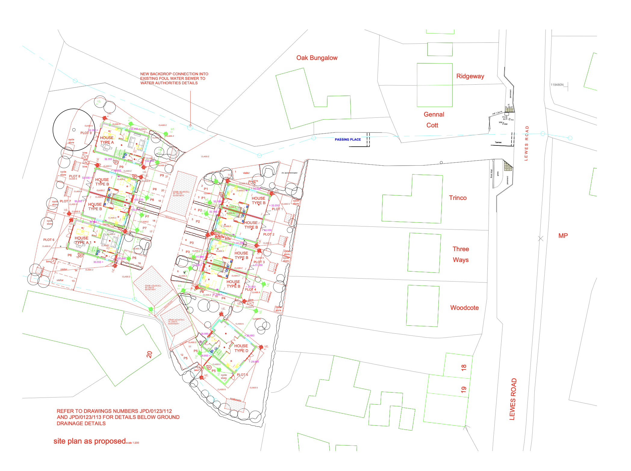
Lewes Road
Client: Confidential Tier 1 Residential Developer
Location: Kent, UK
Project Scope: Topographical Survey & Site Setting Out
Phase 1: The Foundation of Accuracy
Phase 2: Seamless Transition to Setting Out
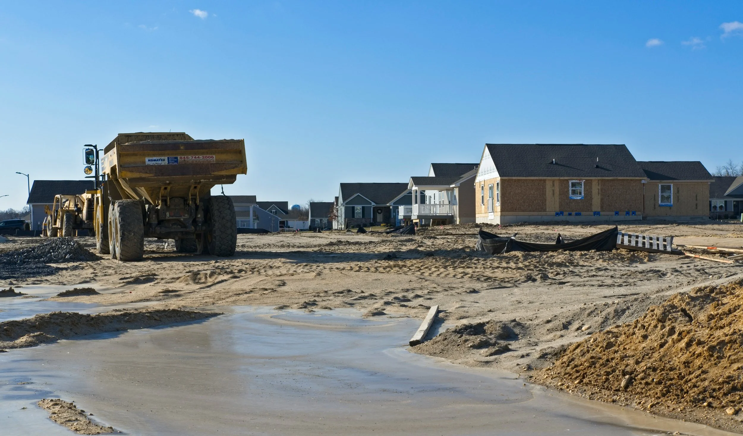
The project began with a comprehensive Topographical Survey of a 2.5-hectare brownfield site. Our primary objective was to provide the client’s architectural team with a high-precision digital twin of the existing terrain to de-risk the design phase.
Methodology: Utilising Integrated Geodetic GNSS and Robotic Total Stations, we mapped all permanent features, including boundary treatments, utility covers, and significant vegetation.
Deliverables: We provided 2D CAD models featuring 0.25-meter contours and spot heights, ensuring the drainage and structural engineers had a flawless baseline for their calculations.
Impressed by the accuracy and responsiveness of the initial survey, the client extended our remit to include the Setting Out for the construction phase. This continuity eliminated the "data gap" often found when switching between surveying firms.
Key Operations:
Site Control: Established a robust primary control network tied to the Ordnance Survey National Grid.
Plot Substruction: Precisely marked out the building footprints, piles, and foundation trenches for 45 residential units.
Infrastructure: Set out the site access roads, kerb lines, and drainage runs to ensure strict adherence to the approved Section 38 and 104 agreements.
“By retaining Axis Land Surveying for the setting out, we ensured that the digital design was translated to the physical ground with millimetre precision, preventing any costly spatial errors during the foundation pour.”
— Site Manager
Outcome: Precision Meets Efficiency
By providing an end-to-end surveying solution, Axis Land Surveying acted as the "golden thread" of spatial data for the project. Our involvement ensured:
Zero Rework: No discrepancies between the initial land measurements and the final building positions.
Efficiency: Direct integration of the design files into our field software allowed for rapid response times as the site progressed.
Compliance: All works were delivered in metric units, meeting UK construction standards and local planning requirements in Kent.